Bestand:Map NL - Abcoude - Baambrugge.svg
Naar navigatie springen
Naar zoeken springen

Afmetingen van deze voorvertoning van het type PNG van dit SVG-bestand: 800 × 600 pixels Andere resoluties: 320 × 240 pixels | 640 × 480 pixels | 1.024 × 768 pixels | 1.280 × 960 pixels.
Afbeelding in hogere resolutie (SVG-bestand, nominaal 800 × 600 pixels, bestandsgrootte: 19 kB)
Beschrijving
| Beschrijving |
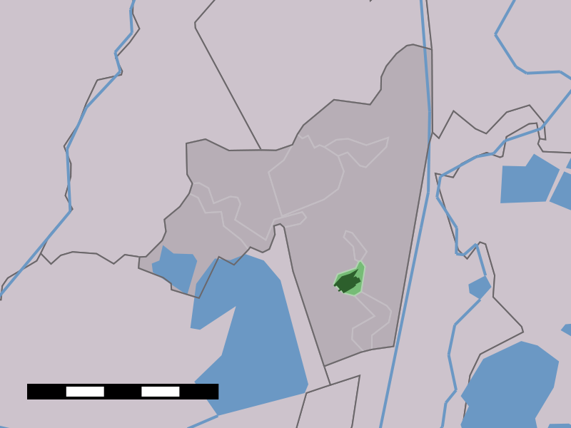
English: Map of Baambrugge, municipality of Abcoude, the Netherlands |
| Datum | tussen 2001 en 2006 |
| Bron | Centraal Bureau voor de Statistiek |
| Auteur | Centraal Bureau voor de Statistiek |
Licentie

|
De auteursrechthebbende van dit bestand, Centraal Bureau voor de Statistiek, staat iedereen toe het voor willekeurig welk doel te gebruiken, mits de auteursrechthebbende correct met naam wordt genoemd.
Heruitgave, afgeleide werken, commercieel gebruik en alle andere vormen van gebruik zijn toegestaan. |
Naamsvermelding:
|
Bestandsgeschiedenis
Klik op een datum/tijd om het bestand te zien zoals het destijds was.
| Datum/tijd | Miniatuur | Afmetingen | Gebruiker | Opmerking | |
|---|---|---|---|---|---|
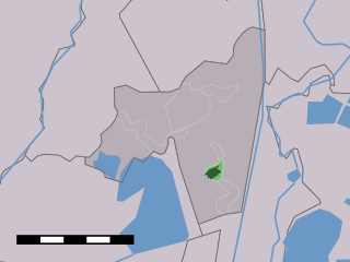
| huidige versie | 25 apr 2006 14:48 | | 800 × 600 (19 kB) | Eugene van der Pijll | Map of Baambrugge, municipality of Abcoude, the Netherlands. {{Statistics Netherlands map}} Category:Maps of Utrecht |
Bestandsgebruik
Dit bestand wordt op de volgende pagina gebruikt: