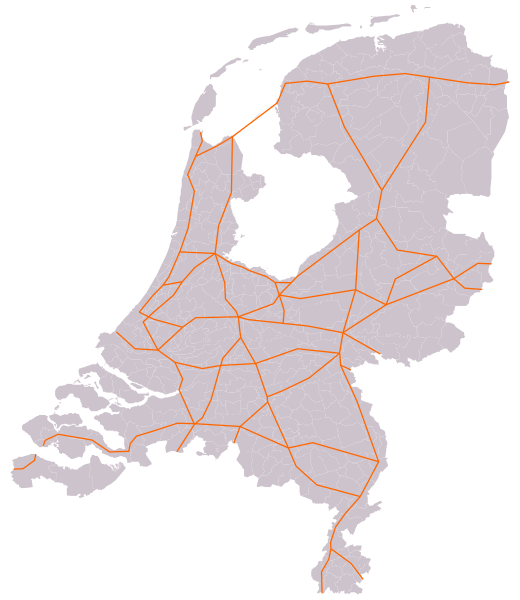
Bestand:Kaart Hoofdverkeersroutes Nederland.svg
Naar navigatie springen
Naar zoeken springen


Afmetingen van deze voorvertoning van het type PNG van dit SVG-bestand: 520 × 600 pixels Andere resoluties: 208 × 240 pixels | 416 × 480 pixels | 666 × 768 pixels | 888 × 1.024 pixels | 801 × 924 pixels.
Afbeelding in hogere resolutie (SVG-bestand, nominaal 801 × 924 pixels, bestandsgrootte: 278 kB)
Bestandsgeschiedenis
Klik op een datum/tijd om het bestand te zien zoals het destijds was.
| Datum/tijd | Miniatuur | Afmetingen | Gebruiker | Opmerking | |
|---|---|---|---|---|---|
| huidige versie | 11 apr 2013 01:23 |  | 801 × 924 (278 kB) | Croonstad | Flevoland didn't exist in the 1930s. |
Bestandsgebruik
Dit bestand wordt op de volgende pagina gebruikt: